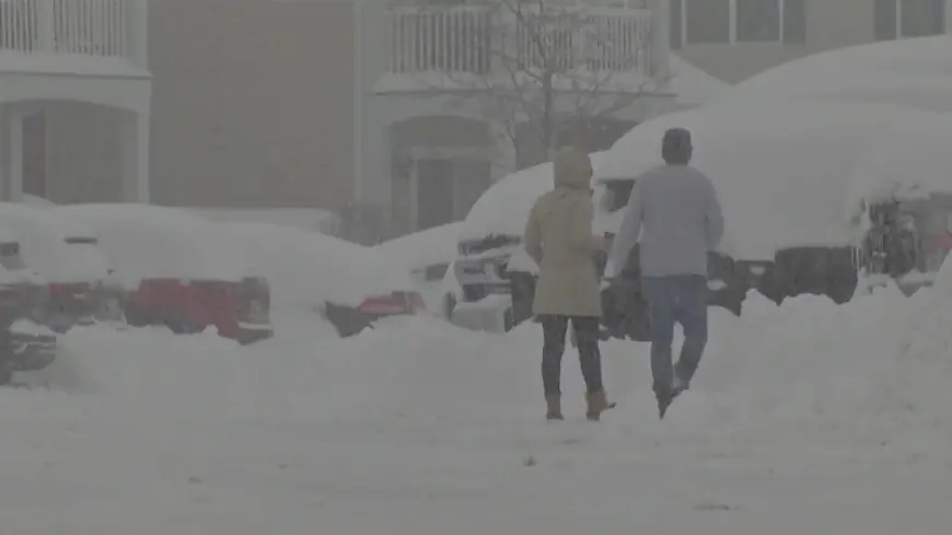
Lake-effect snowfall totals around Western New York
Some counties remain under a lake-effect snow warning until 7 p.m. Monday.

BUFFALO, N.Y. (WIVB) -- Lake-effect snow hit Western New York on Friday and has continued throughout the weekend, prompting multiple counties to be placed under a state of emergency and lake-effect snow warning.
Gov. Kathy Hochul announced the state of emergency on Friday for Erie, Chautauqua, Cattaraugus, Genesee, Allegany and Wyoming counties amid the region's first significant snowfall event this winter.
Southern Erie (south of Route 20A), Wyoming, Chautauqua and Cattaraugus counties remain under a lake-effect snow warning until 7 p.m. Monday.
Over the weekend, various municipalities across the region announced travel bans and advisories. All driving bans in Erie County were lifted Sunday morning, but a travel advisory still remains in effect for a majority of the southern and central parts of the county.
See the current snowfall totals as of Sunday morning, unless noted, from the National Weather Service below:
Allegany County
- Centerville: 8 inches (as of 9:15 a.m. Saturday)
Cattaraugus County
- Cattaraugus: 34.5 inches
Chautauqua County
- Cassadaga: 37.7 inches
- Fredonia: 27 inches
- Dunkirk: 26.5 inches
Erie County
- Angola: 32 inches
- Springville: 29.1 inches
- Glenwood: 21.5 inches
- Hamburg: 15.8 to 20.7 inches
- East Aurora: 16.1 to 18.8 inches
- Colden: 18.1 inches
- Lackawanna: 18 inches
- Orchard Park: 18 inches
- Marilla: 16 inches (as of 11:20 p.m. Saturday)
- Alden: 15.8 inches
- West Falls: 12.5 inches
- Lackawanna: 12.4 inches
- Williamsville: 1.2 inches
Genesee County
- Alexander: 4 inches
- Batavia: 3.5 inches
- Stafford: 0.2 inches
Wyoming County
- Warsaw: 19.8 inches
- Silver Springs: 12.9 inches
Click here to stay up to date with the latest forecast.
Latest Local News
Katie Skoog joined the News 4 team in April 2024. She is a graduate from the University at Buffalo. You can view more of her work here.
What's Your Reaction?


