


Hurricane Season: Water temperatures trending warmer
Sea surface temperatures trending warmer than average providing fuel for potential storms this hurricane season
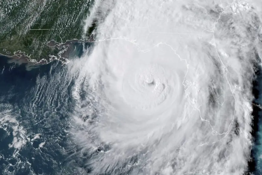
AUSTIN (KXAN) - As the 2025 Atlantic Hurricane Season approaches, forecasters are looking at the data and future models to determine what the season will bring. One item meteorologists will be looking at is sea surface temperatures, which is fuel for a storm to build off of. Barry Goldsmith with the National Weather Service office in Brownsville said we are on a warmer trend as of right now.
"Currently, we are looking at the temperatures being 2-4 degrees above average across the Atlantic basin, meaning the tropical Atlantic from the African Coast all the way across to the Caribbean Sea."
Goldsmith said temperatures in the Gulf are a bit higher than that. This is all thanks to a 30-year warming trend.
"We are in a period that goes back to 1995, known as the Atlantic Multi-decadal Oscillation, or AMO for short. This basically means the pattern is above average sea surface temperatures throughout the year, particularly during the hurricane season," Goldsmith said.
The cycle typically lasts 30 years before it fades, but according to Goldsmith, the warmer trend is holding on.
"You need to look at other things too. " Goldsmith said. "You need low wind sheer, an atmospheric wave and plenty of moisture along that track."
The 2025 Atlantic Hurricane Season runs from June 1 through Nov. 30. For more information, visit KXAN's Tropical page.
What's Your Reaction?