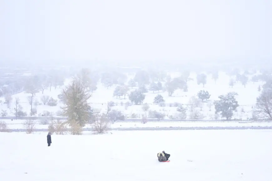
How much more snow will pre-Thanksgiving storm bring to Denver, mountains — and when will it stop?
Heavy mountain snow will decrease Wednesday afternoon and end in the evening, but not before another two to six inches of snow stacks up, NWS forecasters said.

After heavy overnight snow in Colorado’s mountains, the bulk of the storm is moving into the Denver area Wednesday morning, according to the National Weather Service.
NWS meteorologists said 1 1/2 to 2 feet of snow fell in Colorado’s mountains above 10,000 feet overnight, shutting down roads and creating hazardous travel conditions.
Heavy mountain snow will decrease around noon Wednesday and end in the evening, but not before another two to six inches of snow stacks up, NWS forecasters said.
“A period of snow is expected during the morning rush hour for the Denver metro and urban corridor, leading to slick roads,” NWS forecasters said in a Hazardous Weather Outlook. “Accumulations will mostly be minor outside of the Palmer Divide.”
Like the mountains, metro snow showers will lighten throughout the day and end in the afternoon or early evening, according to forecasters.
According to Wednesday morning forecasts, expected snowfall totals between Wednesday and Thanksgiving morning across the Front Range include:
- Up to 3 inches in Denver, Aurora, Broomfield, Centennial, Colorado Springs, Northglenn and at Denver International Airport;
- Up to 4 inches in Arvada, Boulder, Highlands Ranch, Lakewood, Littleton and Parker;
- Up to 5 inches in Castle Rock and Golden;
In the mountains, new expected snowfall totals include up to:
- 8 inches on Monarch Pass in Colorado’s Rocky Mountains, which already received 26 inches of snow since the storm started Monday;
- 4 inches on Copper Mountain and its ski area, which has already seen 20 inches of fresh snow accumulate;
- 5 inches of snow on Breckenridge peaks, which already received 18 inches;
- 4 inches on Vail Pass, where two feet of snow already fell and shut down the road.
- 6 inches in Winter Park, Eldora and Keystone, which have each already seen between 14 and 17 inches of snow;
- 10 inches in Colorado’s Sangre de Cristo Mountains, including Cucharas Pass and La Veta Pass;
- 12 inches along Cordova Pass in the San Isabel National Forest.
Most mountain roads will be accessible and better for travel by this evening, forecasters said. Highways leaving Denver, including Interstate 70 and U.S. 285, will improve through the morning and be “much better by later afternoon.”
A Winter Storm Warning remains in effect for mountains above 9,000 feet until 5 p.m. Wednesday and multiple Winter Weather Advisories will expire in the Foothills and metro area around 2 p.m.
Thanksgiving will be cold but dry in the Denver area, according to NWS forecasters. Denver can expect temperature highs near 37 degrees and before overnight temperatures drop to 17 degrees.
In the mountains, wind chill will make it feel like -13 degrees in some areas though real temperatures will hover in the mid-20s, forecasters said.
Get more Colorado news by signing up for our daily Your Morning Dozen email newsletter.
What's Your Reaction?


